Satellite data
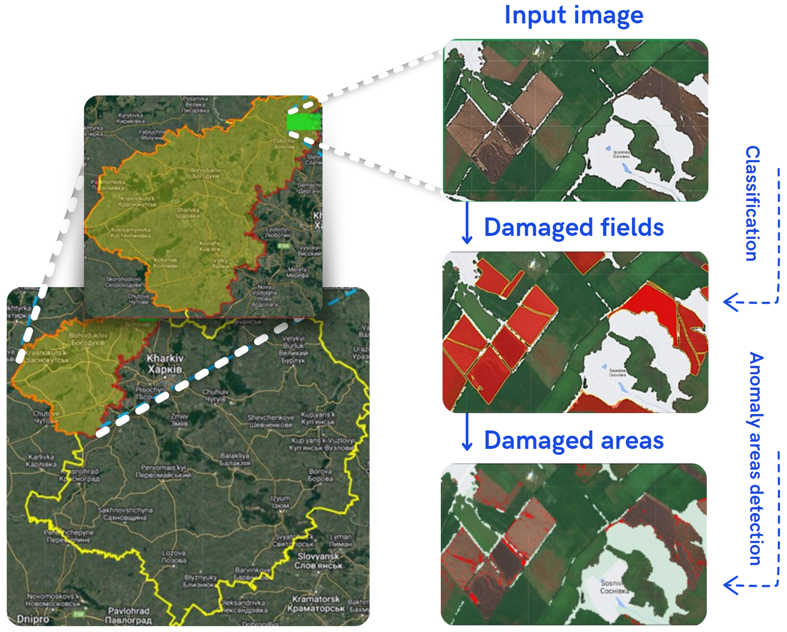
Our technologies are based on the use of high-resolution data from the Sentinel-2 satellite, which allows us to effectively detect damage to territories. For this, we use the green and blue spectral channels, as well as the vegetation indices NDVI and GCI.
Random forest
Our methodology includes the creation of a training dataset based on manually collected satellite images of damaged fields and the subsequent application of a random forest classifier to automate the process of searching for damaged arable areas. For data processing, we use the Google Earth Engine (GEE) cloud environment and the QGIS program.
Anomaly detection
To determine the location of point damage (craters, trenches, burned areas), we use an anomaly detection method based on identifying pixels with values that deviate from the average pixel values within a given field. The analysis is conducted using spectral bands B2, B3, as well as vegetation indices NDVI and GCI.


